
Hiking Mount Pangaion: Ancient Gold Mines and Aegean Views
A guided hike towards the peaks of Mount Pangaion in northern Greece, about 40 km from Kavala, a mountain famous in antiquity for its gold mines. From the Avgo viewpoint at about 1,930 m you see Thassos, Mount Athos and the North Aegean. About 5 hours in total, English-speaking guide and local transfers included, €40 per person, minimum 4 people.
- Duration
- 4 hours hiking, about 5 hours in total
- Level
- To be confirmed
- Ages
- To be confirmed
- Group
- Small group, minimum 4 participants
- Season
- To be confirmed
- Sessions
- Day trip
What you will do
Mount Pangaion rises between Serres and Kavala in northern Greece, a long, high range that was famous in the ancient world for its gold. Our guided hike climbs towards its summits for one of the widest views in the country, stretching from the Rhodope mountains to Mount Athos and the islands of the North Aegean. The day takes about 5 hours in total, includes an English-speaking guide and all local transfers, and costs €40 per person.
What is the Mount Pangaion hike?
It is a guided mountain hike on Pangaion, about 40 km from the city of Kavala. The range covers the south eastern part of the Serres regional unit and most of the Kavala regional unit, and its highest point, Koutra, reaches 1,956 m. The hike heads up towards the peaks, and the views open up the higher you climb. The highlight is Avgo, a viewpoint at about 1,930 m, where on a clear day the whole of eastern Macedonia and the North Aegean seem to spread out below you.
Why is Pangaion famous?
For thousands of years Pangaion was a source of wealth. Its gold mines, together with its timber, drove the economy of the region and led to many disputes and wars over the centuries, as rulers fought to control the mountain. Your guide tells the story as you walk: the ancient mines, the cities that grew rich nearby, and how the mountain shaped the history of this corner of Greece. You also look down on places that mattered in that history, such as the natural fortress of Amphipolis and the sheltered natural harbour at the mouth of the Strymonas river.
What can I see from the top?
The view from Avgo is the reason many people come. On a clear day you can pick out:
- The Rhodope mountains, Mount Falakro and Mount Menoikio to the north.
- The springs of the Aggitis river and the plain of the old Lake Prasias, now dried.
- Amphipolis and historic Kerdyllia towards the Strymonas.
- Mount Athos rising from the sea to the south.
- The islands of Thassos, Lemnos and Samothraki, and the open North Aegean.
- The city of Kavala and the lagoons around Porto Lagos to the east.
What happens on the day?
We meet at Pangeo Forest Village, near Eleftheroupoli in the Kavala area, where you meet your English-speaking guide. All local transfers on the mountain are included, so you do not need to drive to the trailhead yourself. After a short briefing the hike begins, climbing steadily with stops for rest, photos and stories about the mountain. At the viewpoint you take time to enjoy the panorama before heading back down. The hiking part takes about 4 hours, and the whole activity about 5 hours.
Is it right for me?
This hike suits people who enjoy mountain walking and are comfortable on uneven trails for several hours. Pangaion is a high mountain, close to 2,000 m, so the weather can change faster than on the coast, and the guide adapts the pace and route to the group and the conditions. There is a minimum of 4 participants per booking. Please tell us your fitness level and any health conditions when you book, so we can advise you.
What should I bring?
Bring a backpack with water and a snack, wear hiking boots, and pack a second pair of shoes, spare socks and a fresh t-shirt for after the hike. As on any high mountain, we recommend a warm layer and a windproof jacket, plus sun protection on clear days.
When is the best time to go?
The best conditions on a high mountain like Pangaion are usually from late spring to autumn, when the trails are clear and the long views are at their sharpest. The upper slopes are much cooler than the coast, which makes the hike a good escape from summer heat. Contact us with your dates and we will confirm availability and conditions.
How to get there
Pangaion is in eastern Macedonia, about 630 km from Athens, roughly 7 hours by car, so most guests visit while travelling in northern Greece or staying around Kavala. The meeting point, Pangeo Forest Village, is near Eleftheroupoli, a short drive from Kavala. Thessaloniki and Kavala both have airports if you prefer to fly north from Athens.
Good to know
- Highest point of the range: Koutra, 1,956 m.
- Avgo viewpoint: about 1,930 m.
- English-speaking guide and all local transfers included.
- Minimum 4 participants.
- Bring spare shoes, socks and a t-shirt for afterwards.
-
01
Meet at Pangeo Forest Village
Meet your English-speaking guide near Eleftheroupoli, in the Kavala area. -
02
Transfer on the mountain
Local transfers to the start of the trail are included. -
03
Climb towards the peaks
Hike up the slopes of Pangaion, with stories about its ancient gold mines and history. -
04
Views from Avgo
Stop at the viewpoint at about 1,930 m, looking out to Thassos, Mount Athos and the Rhodope mountains. -
05
Descend and return
Walk back down and transfer to the meeting point, about 5 hours after the start.
Price
Minimum 4 participants. All local transfers are included.
Included
- Expert English-speaking guide
- All local transfers
What to bring
- Backpack
- Water
- Snack
- Hiking boots
- Second pair of shoes
- Spare socks
- Spare t-shirt
Requirements & safety
- Comfortable hiking for about 4 hours on mountain trails
- Minimum 4 participants
Hiking Mount Pangaion: Ancient Gold Mines and Aegean Views: questions
Where is Mount Pangaion?
In eastern Macedonia, northern Greece, about 40 km from Kavala. The range covers parts of the Serres and Kavala regional units.
How high is Mount Pangaion?
Its highest point, Koutra, is 1,956 m. The Avgo viewpoint is at about 1,930 m.
Where do we meet?
At Pangeo Forest Village, near Eleftheroupoli in the Kavala area. Local transfers on the mountain are included.
How long does the hike take?
The hiking takes about 4 hours, and the whole activity about 5 hours.
What can you see from the summit area?
On a clear day, Mount Athos, Thassos, Lemnos, Samothraki, the Rhodope mountains, Kavala and the plain of the dried Lake Prasias.
Why is Pangaion known for gold?
Its ancient gold mines, along with its timber, made it one of the richest mountains of the ancient world, and many wars were fought over it.
Is the guide English speaking?
Yes. The hike is led by an expert English-speaking guide.
How many people do you need?
A minimum of 4 participants per booking.
How far is Pangaion from Athens?
About 630 km, roughly 7 hours by car, so it is best combined with a trip to northern Greece or a stay near Kavala.
What if the weather is bad?
Mountain weather can change quickly, and we may move the hike for safety. If we cancel for weather or safety, you choose a new date or a full refund of the deposit.
What is the cancellation policy?
Free cancellation up to 48 hours before; later cancellations and no-shows keep the deposit; if we cancel for weather or safety you choose a new date or a full refund of the deposit.
How do I pay?
A deposit is paid online when you book (card through Viva Wallet, PayPal or Revolut) and the rest is paid on the day.
Pairs well with
 Hiking & trekking · Athens
Trail Running in Athens: Coached Runs on Mount Hymettus
Instant booking
from €47
 Rock climbing · Athens
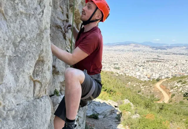
Rock Climbing Athens: Beginner Climbing at Karavi, Mount Hymettus
Instant booking
from €70
 Canyoning · Evia
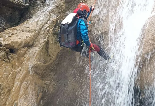
Waterfall Canyoning in Evia: Agali, Tsagaraki & Diaselo
Instant booking
from €75